About project

ongoing
DIGIMARIS_RGB_JPG

About the project

The DIGIMARIS project enhances maritime oil spill response capacity in the Gulf of Finland by testing and developing the integration of unmanned ground and surface vehicles (UGVs and USVs) into the operational toolkit of rescue authorities. Acting as an agile first-response capability, these platforms and their sensors provide real-time data on spilled substances, their characteristics, and their behaviour in the marine environment. This information enables authorities to build and maintain a shared real-time situational awareness, supporting timely and effective response measures.

The use of unmanned surface vehicles in oil spill response operations is still a relatively new field. To support the later phases of the project, DIGIMARIS includes an assessment of the legal aspects related to the use of unmanned surface vehicles in the coastal waters of Finland. The report, prepared by Åbo Akademi University doctoral researcher and Deputy Judge Jouni Honkala together with Professor of Maritime Law Henrik Ringbom, examines the relevant Finnish legislation and regulatory framework.

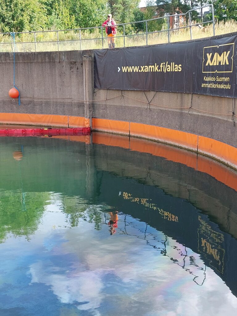
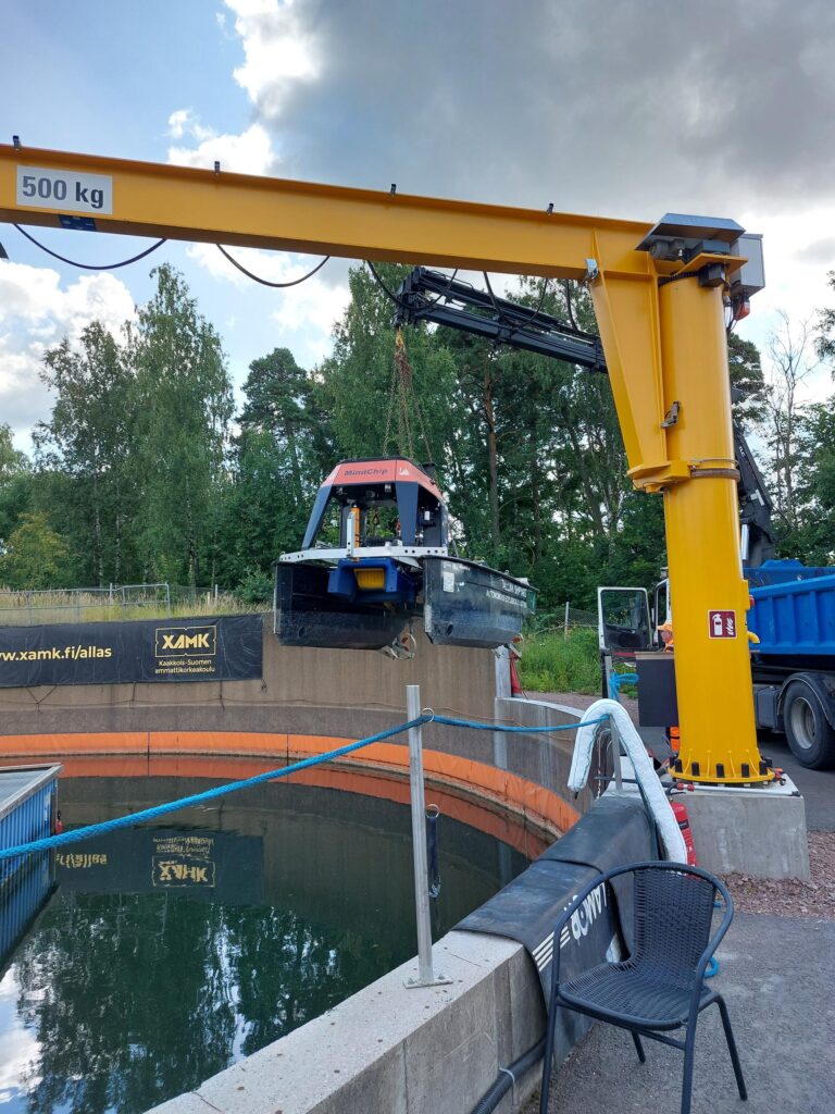
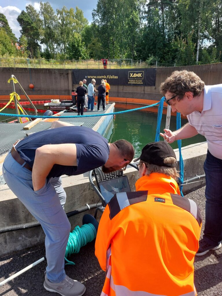
Project partner South-Eastern Finland University of Applied Sciences (Xamk) coordinates and implements a series of technology and equipment tests together with the project consortium at the oil spill response test basin in Kotka, operated by Xamk. Safely isolated from the surrounding environment, the facility enables testing with real oil products under controlled conditions.

In Finland, project partner Kymenlaakso Rescue Department will procure and test both an unmanned ground vehicle and an unmanned surface vessel as part of coastal and shoreline oil spill response operations. In Estonia, the Estonian State Fleet will procure and test an unmanned surface vessel, focusing primarily on applications in the open sea environment

Within the project, project partner Tallinn University of Technology (TalTech) will integrate sensor data collected by the Estonian State Fleet USV into a map-based operational platform developed by Taltech. The platform is already used by Estonian authorities for environmental risk modelling and assessment. All consortium partners will contribute to the specification and testing process.

This phase of the project will explore the prerequisites for real-time data transfer and information sharing through a platform that can be used by all authorities involved in oil spill response operations, and potentially by other relevant stakeholders. Based on the findings, the project will develop a specification for a new digital service supporting cross-organisational, oil spill response related situational awareness and decision-making.

In addition to defining operational use cases, identifying equipment needs, conducting market analyses and procurements, and integrating sensor data into a shared modelling platform, the project consortium will evaluate and test the potential of unmanned ground and surface vehicles as part of the overall oil spill response capacity. Together with relevant stakeholders, the consortium will assess both opportunities and practical requirements for future implementation.

The project will also identify training needs and produce supporting materials to facilitate the adoption and effective use of these technologies. To support the wider uptake of the new digital service, the lead partner Kotka Maritime Research Centre (Merikotka) will facilitate the development of a strategic roadmap outlining the steps required for future scaling and deployment. Targeted at authorities responsible for oil spill response in Finland and Estonia, the roadmap will identify key milestones, expansion pathways, and resource requirements, helping to ensure that the service can evolve and adapt to broader operational use over time.